When we arrive at a site in San Bernardino, our field crew typically deploys a combination of high-resolution topographic scanners and portable flume testers to sample sediment entrainment potential. The city's steep canyon topography, carved by the San Andreas fault zone, produces debris flows that can exceed 10 meters per second after intense winter storms. Our analysis begins with a detailed geomorphic mapping of the catchment area, followed by soil sampling at key initiation points. This data feeds into FLO-2D or RAMMS models that simulate runout distance and impact pressure. We also integrate rainfall intensity-duration thresholds specific to the San Bernardino Mountains, since short-duration, high-intensity events are the primary trigger here. The final deliverable includes inundation maps and recommended mitigation measures such as debris flow barriers and sediment retention basins.
Post-wildfire debris flow hazard in San Bernardino can increase runoff coefficients above 0.8, demanding site-specific modeling that accounts for burn severity and channel gradient.
Approach and scope
What distinguishes debris flow analysis in San Bernardino from other regions is the combination of burned watersheds and steep alluvial fans. After the 2020 El Dorado Fire, many hillsides lost their root reinforcement, turning previously stable slopes into debris flow sources during the first heavy rain. In our experience, the critical parameter here is the burn severity class — high-severity burn areas produce runoff coefficients above 0.8. We also evaluate channel gradient and the presence of colluvial deposits that can mobilize into debris flows. The analysis includes:
Field reconnaissance and mapping of initiation zones and channel geometry.
Soil sampling for grain size distribution and plasticity to assess entrainment potential.
Hydrologic modeling using the USGS debris-flow hazard assessment method.
Before finalizing the hazard map, we often cross-check results with slope stability analysis to distinguish debris slides from true debris flows. This integrated approach reduces uncertainty and provides a defensible basis for land-use decisions.
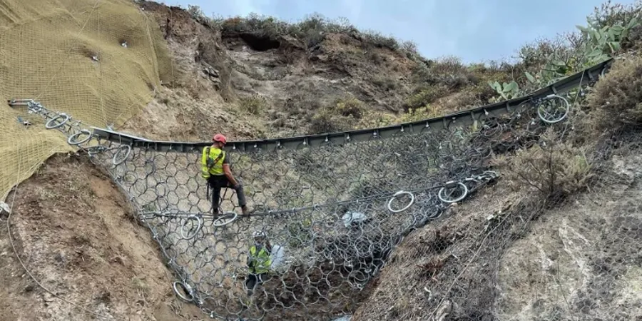
Technical reference image — San Bernardino
Site-specific factors
San Bernardino's development history is tightly linked to its alluvial fan geography. The city expanded rapidly in the mid-20th century into the bajadas of the San Bernardino Mountains, often without adequate hazard assessment. The 1969 and 2003 storms triggered damaging debris flows that destroyed homes and blocked major highways like I-215. More recently, the 2020 wildfires created conditions for post-fire debris flows that buried roads and threatened communities in Lytle Creek and Waterman Canyon. The combination of steep terrain, seasonal wildfire cycles, and intense winter storms means that debris flow hazard here is not a static condition — it evolves annually based on fire extent and rainfall patterns. Ignoring this dynamic risk can lead to under-designed drainage structures and unsafe subdivision approvals.
Rapid hazard evaluation within 2-4 weeks after a wildfire, incorporating BAER team data, field mapping of burn severity, and probabilistic rainfall threshold analysis. Includes runout modeling and evacuation zone recommendations.
02
Hydrologic and Hydraulic Modeling
Advanced 2D numerical modeling using FLO-2D and RAMMS to simulate debris flow initiation, entrainment, and deposition. Calibrated with local rainfall records from the San Bernardino County Flood Control District.
03
Mitigation Design Support
Design of debris basins, check dams, and deflection walls based on modeled impact pressures and sediment volumes. Coordination with geotechnical engineers for foundation stability in debris flow-prone areas.
This service complements our laboratory testing work for a complete project analysis.
Relevant standards
ASTM D1586-18 Standard Test Method for Standard Penetration Test, ASTM D2487-17 Standard Practice for Classification of Soils, USGS Open-File Report 2008-1178: Debris-Flow Hazard Assessment Method, ASCE 7-22 Minimum Design Loads for Buildings (debris flow provisions), IBC 2021 Chapter 18: Soils and Foundations (hillside development)
Quick answers
What is the difference between a debris flow and a mudflow?
A debris flow contains a high concentration of coarse material — boulders, cobbles, and woody debris — suspended in a viscous matrix of water and fine sediment. Mudflows are composed primarily of fine-grained soils (silt and clay) with less coarse fraction. In San Bernardino, post-wildfire flows are typically debris flows due to the rocky colluvium in the mountain canyons.
How much does a debris flow analysis cost?
The cost of a debris flow analysis in San Bernardino typically ranges between US$1.400 and US$4.450, depending on the basin size, the complexity of burn severity mapping, and the level of numerical modeling required. For large watersheds or projects requiring multiple scenarios, the upper end of this range applies.
Do I need a debris flow study for a single-family home in the foothills?
If your property lies within a mapped debris flow hazard zone — common in areas like Highland, Lytle Creek, or Waterman Canyon — most building departments require a site-specific hazard assessment. The study identifies whether the home lies in the flow path, the expected impact pressure, and what mitigation (e.g., deflection walls) is needed.
How long does a debris flow analysis take?
A standard analysis for a small watershed (0.1–0.5 km²) takes 4 to 6 weeks from field mobilization to final report. Larger basins or projects requiring detailed hydraulic modeling may extend to 8 weeks. The timeline is shorter if recent LiDAR data is available for the site.