The contrast between the alluvial flats near the Santa Ana River and the steep colluvial slopes of the San Bernardino Mountains creates two completely different erosion regimes within a few miles. On the valley floor, sheet erosion from seasonal rain dominates, while up in the foothills, rill and gully erosion cut into decomposed granite and older alluvial fans. A reliable soil erosion analysis in San Bernardino must account for these starkly different sediment sources and transport paths. Before designing drainage or slope protection, we usually run a permeability field test to measure infiltration rates on site and combine it with a consolidation test when clay layers control the runoff response.
In San Bernardino, a single winter storm can deliver over three inches of rain in 24 hours, mobilizing soil from cut slopes three times faster than average annual projections.
Approach and scope
ASCE 7-22 and IBC 2024 require erosion and sediment control plans for any development disturbing more than one acre. In San Bernardino, where annual rainfall averages around 16 inches but falls mostly during winter storms, the timing of the analysis is critical. Our methodology follows ASTM D422 for particle size distribution and ASTM D2487 for soil classification, which feed directly into the Revised Universal Soil Loss Equation (RUSLE2) parameters. For steep lots in the Verdemont or Arrowhead Springs areas, we also incorporate topographic factor (LS) and cover management (C) values specific to Southern California chaparral. The lab processing includes organic matter content and textural class determination to refine the erosion prediction.
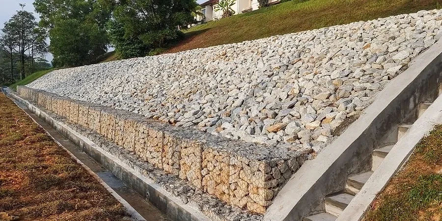
Technical reference image — San Bernardino
Site-specific factors
The summer dry season in San Bernardino leaves the soil surface loose and hydrophobic, so the first winter rain creates a crust that reduces infiltration and spikes runoff velocities. This is exactly when unprotected cut slopes in the Devore Heights or Kendall area can lose several centimeters of topsoil overnight. If the analysis misses the effect of antecedent moisture or the local storm intensity-duration curves, the erosion control design will be undersized. We always cross-check RUSLE2 output with the California Department of Conservation's watershed maps before finalizing recommendations.
Erosion Hazard Assessment (Desktop + Field Verification)
Combines GIS-based RUSLE2 modeling with site visits to verify soil texture, slope, and cover conditions. Deliverables include erosion rate maps, sediment yield estimates, and a prioritized list of control measures.
02
Erosion Control Design Review & Testing
Laboratory testing of soil erodibility parameters (K factor, organic matter, dispersion ratio) plus review of proposed BMPs such as silt fences, fiber rolls, and hydroseeding. We certify compliance with the local NPDES permit requirements.
Relevant standards
ASCE 7-22 Section 2.5 (erosion and scour), IBC 2024 Chapter 18 (excavation, grading, and fill), ASTM D422 — Particle-Size Analysis of Soils, FHWA HEC-15 (hydraulic design of erosion control measures)
Quick answers
How does soil erosion analysis differ from a standard geotechnical investigation?
A standard investigation focuses on bearing capacity and settlement, while erosion analysis quantifies soil loss and runoff. We measure erodibility (K factor), slope geometry (LS factor), and review local rainfall records to estimate long-term erosion rates. The result is a sediment budget, not a bearing capacity.
What is the typical cost of a soil erosion analysis in San Bernardino?
For a typical residential lot (1–5 acres), the cost ranges from US$930 to US$2,410 depending on site complexity, number of samples tested, and whether a full RUSLE2 model is required. Commercial projects with multiple drainage basins fall at the higher end. We provide a fixed-price quote after a brief site review.
How long does the analysis take from sample collection to final report?
Laboratory testing (particle size, organic matter, erodibility) takes 7–10 business days. The modeling and report writing add another 3–5 days, so total turnaround is usually 10–15 business days. If the site is steep and requires a detailed topographic survey, add 5 days for the field work.